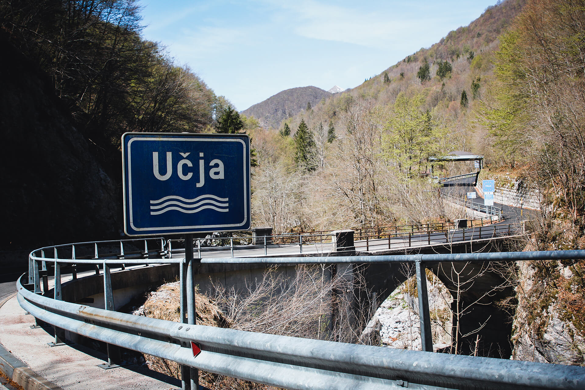
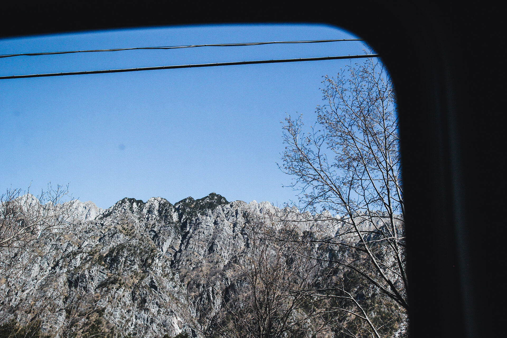
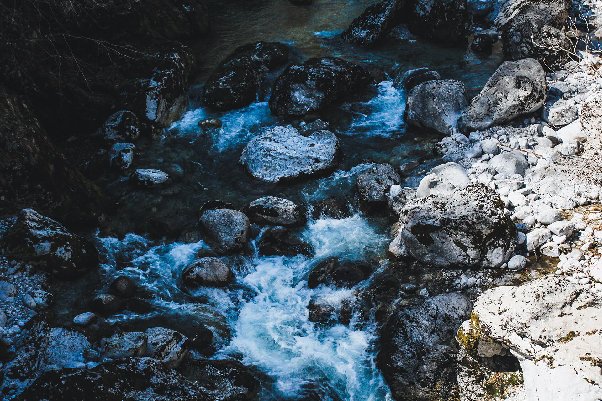
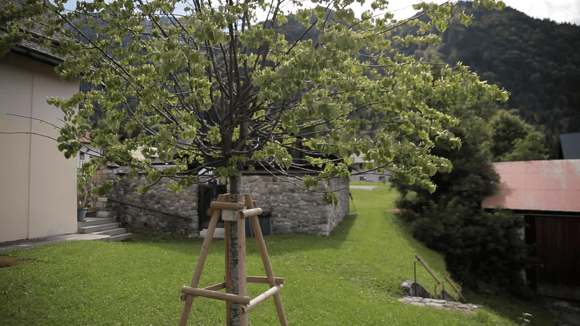
Its southernmost boundary, marking the Italy-Slovenia border, runs along Rio Uccea, a water course surrounded by shrubby vegetation mainly made up of spruce and beech trees. Its folklore and traditions – Slavic in origin, deeply felt and still observed by the valley’s people – are a fully-fledged part of the project narrative.
Where
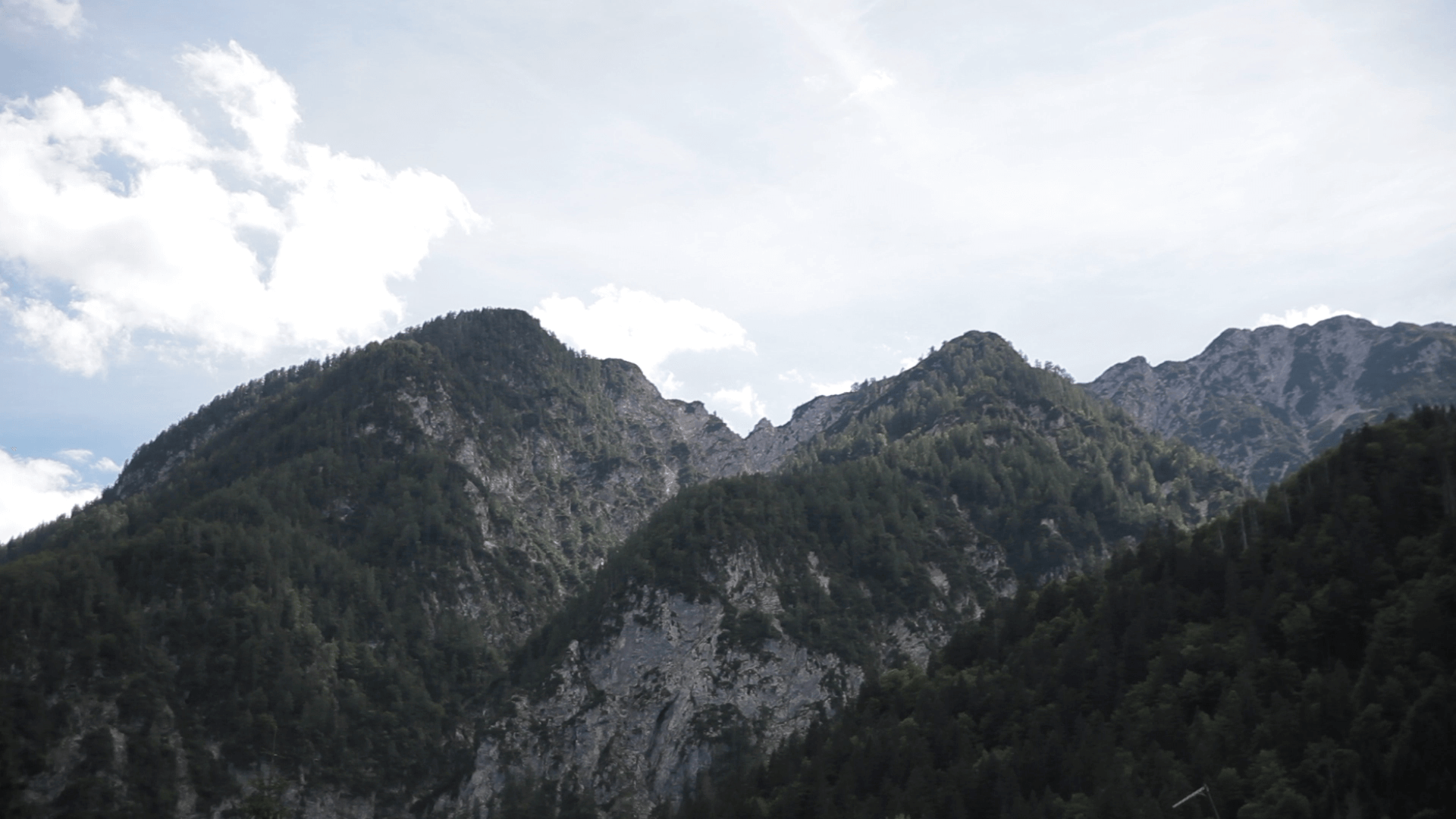
The area chosen for the first implementation of the project’s methodology covers a handful of valleys in the intersection between Italy, Slovenia and Austria.
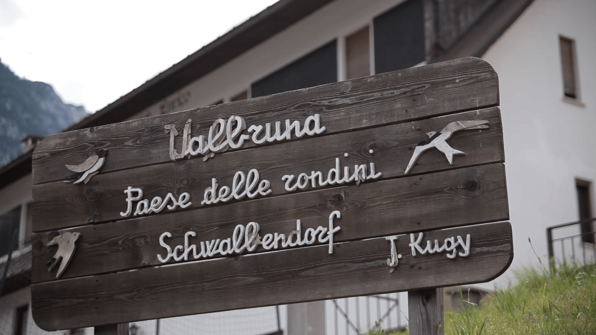
These are landscapes permeated with toponyms in multiple languages, villages, rivers and hills existing simultaneously in a range of languages. Multilingualism as a vision and identity filter.
They are lands whose maps have, over the decades, expressed a zeitgeist, a cultural feeling, with differences which conjure up not only the outcomes of wars and politics but also changes in cultural thinking just a few years later.
Early twentieth century and inter-war maps of the Alps in general, and the Alpi Giulie in particular, reflect these changes in thinking, passing through national unification emphasis, moments of uncertain attribution of bilingual zones and changes in borders in accordance with wartime developments.
Resia / Resije / Rezija / Rèsie
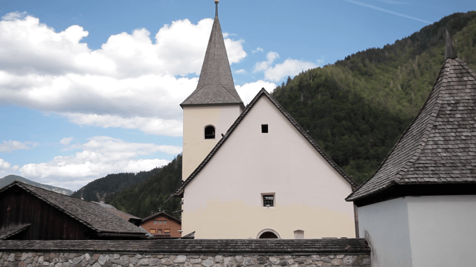
Val Canale / Val Cjanâl / Kanalska dolina / Kanaltal
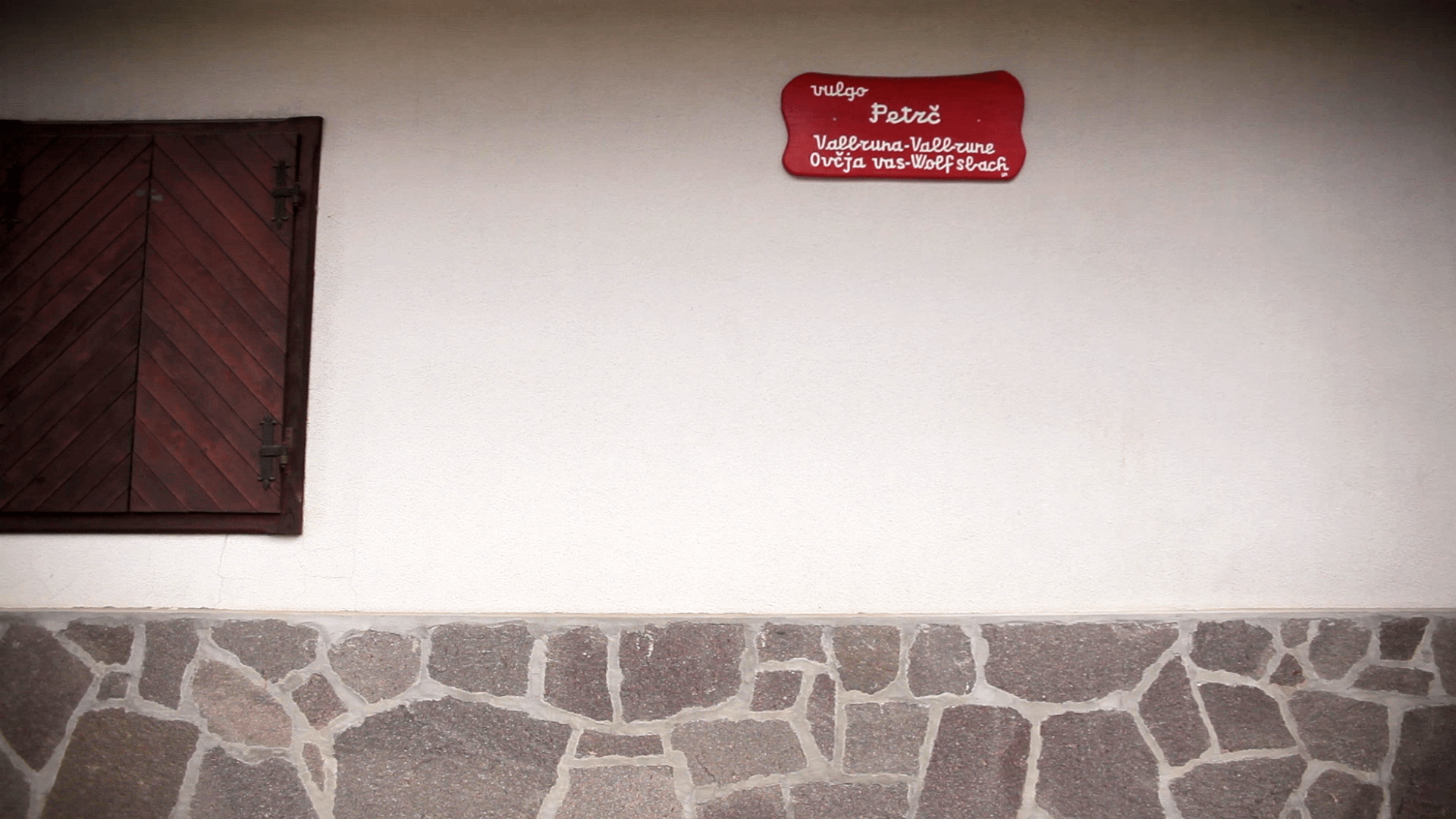
For centuries the main language was German, accompanied by Slovene language minority groups, and it is now unique in Europe for the co-existence and contemporary use of languages belonging to three language families: Latin, German and Slavic.